Seeing From Space: The Power of Satellite Remote Sensing Technology
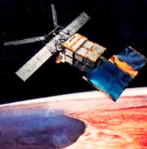
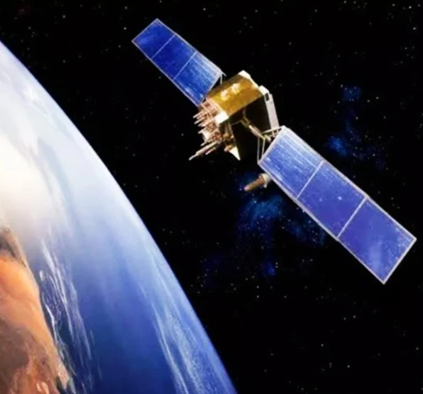
Imagine having eyes on the Earth 24/7, constantly monitoring its health, resources, and weather. That's the power of satellite remote sensing technology. It's a non-invasive way to gather information about our planet from space, using satellites equipped with special sensors.
Table: Satellite Remote Sensing Technology - Expanded
| Feature | Description | Examples |
|---|---|---|
| Sensors | Instruments onboard satellites that collect data by detecting electromagnetic radiation. | * Visible & Near Infrared (VNIR): Capture color information for land cover classification, vegetation analysis. * Thermal Infrared (TIR): Detect heat emissions for monitoring volcanic activity, water temperature. * Microwave: Penetrate clouds and vegetation for soil moisture analysis, flood mapping. |
| Data Types | The type of electromagnetic radiation detected by the sensor. | * Images: High-resolution pictures of Earth's surface in various wavelengths. * Spectra: Detailed breakdown of radiation intensity across different wavelengths, used for material identification. * Time Series Data: Data collected over time to track changes and trends. |
| Benefits | Advantages of using satellite remote sensing technology. | * Global Coverage: Monitor any location on Earth, regardless of accessibility. * Repetitive Coverage: Satellites revisit areas regularly, enabling change detection. * Synoptic View: Provides a wide-area perspective not achievable from ground-based methods. * Quantitative Data: Enables researchers to measure and analyze Earth's features. |
| Applications | Specific uses of satellite remote sensing data in various fields. | * Environmental Science: * Deforestation mapping * Glacier monitoring * Ocean pollution tracking * Agriculture: * Crop yield prediction * Soil health assessment * Irrigation management * Disaster Management: * Flood inundation mapping * Wildfire perimeter detection * Early warning systems for natural hazards * Urban Planning: * Urban sprawl monitoring * Land use change analysis * Infrastructure development planning |
| Challenges | Limitations to consider when using satellite remote sensing technology. | * Cloud Cover: Clouds can obscure the ground, limiting data acquisition. * Sensor Resolution: While improving, resolution limitations may not capture fine details. * Data Processing: Large amounts of data require specialized skills and software for analysis. * Cost: Acquiring and processing high-resolution data can be expensive. |
| Future | Potential advancements in satellite remote sensing technology. | * Miniaturization of Sensors: Smaller, more cost-effective satellites with advanced capabilities. * Hyperspectral Imaging: Sensors capturing hundreds of spectral bands for even more detailed analysis. * Improved Data Processing: Cloud computing and AI will streamline data analysis and interpretation. * Constellations of Satellites: Networks of satellites providing constant, high-resolution coverage. |
How Does It Work?
Satellites orbit Earth, carrying sensors that detect reflected and emitted radiation from the planet's surface. This radiation comes in the form of the electromagnetic spectrum, which includes visible light, infrared, and microwave wavelengths. By analyzing these signals, scientists can extract valuable information about the Earth's features.
Benefits of Satellite Remote Sensing
This technology offers a wide range of advantages:
- Global Coverage: Satellites can provide data from even the most remote areas, giving us a complete picture of the Earth.
- Continuous Monitoring: They can track changes over time, allowing us to monitor environmental issues like deforestation or track weather patterns.
- Detailed Data: Modern sensors can capture high-resolution images, revealing intricate details about the Earth's surface.
Applications of Satellite Remote Sensing
Satellite remote sensing has numerous applications across various fields:
- Environmental Monitoring: It helps track deforestation, monitor air and water quality, and assess the impact of climate change.
- Agriculture: Satellites can be used to assess crop health, identify areas needing irrigation, and predict crop yields.
- Disaster Management: They play a crucial role in disaster response by providing real-time data on floods, wildfires, and volcanic eruptions.
- Urban Planning: Data helps in urban planning by monitoring land use, identifying potential development sites, and managing infrastructure.
The Future of Satellite Remote Sensing
The future of satellite remote sensing is bright. Advancements in sensor technology, data processing, and artificial intelligence will lead to even more precise and insightful data. This will be crucial for addressing global challenges like climate change, food security, and resource management.
Satellite remote sensing technology is a powerful tool that allows us to gain a deeper understanding of our planet. As this technology continues to evolve, it will play an increasingly important role in shaping a sustainable future for Earth.
The Race to the Top: Who Leads in Satellite Remote Sensing Technology?
Satellite remote sensing technology has become an essential tool for monitoring our planet, from tracking environmental changes to managing resources. But with several countries actively developing and utilizing this technology, who stands out as the leader?
It's difficult to declare a single, definitive leader. Both the United States and China are major players, each with strengths and areas of focus.
Table: Leaders in Satellite Remote Sensing Technology
| Feature | United States | China |
|---|---|---|
| Strengths | * Extensive Fleet of Satellites * Advanced Sensor Technology * Open Data Policy | * Rapid Development * Focus on Civilian Applications * Cost-Effectiveness |
| Weaknesses | * Budgetary Pressures * Focus on Military Applications | * Limited Open Data * Focus on Domestic Use |
| Space Program Focus | * Established and Comprehensive * Strong Military Ties | * Rapidly Growing * Civilian Needs Oriented |
| Impact | * Global Leader in Data Availability * Advanced Sensor Development | * Potential Future Leader * Focus on Accessibility |
| Future Outlook | * Potential for Collaboration * Focus on Maintaining Technological Edge | * Continued Growth * Potential for Increased Global Impact |
The United States: A Legacy of Innovation
The US boasts a long history in space exploration and remote sensing. Here's what gives them an edge:
- Extensive Fleet: The US maintains a vast fleet of Earth observation satellites, offering comprehensive coverage and diverse data types.
- Advanced Sensor Technology: The US has consistently pushed the boundaries of sensor technology, creating high-resolution instruments that capture intricate details.
- Open Data Policy: The US government provides open access to a wealth of remote sensing data, fostering scientific research and collaboration.
However, the US also faces challenges:
- Budgetary Pressures: Maintaining and developing a large space program can be expensive, potentially limiting future advancements.
- Focus on Military Applications: While the US utilizes remote sensing for civilian purposes, its space program has strong military ties, which can impact data availability.
China: A Rising Power
China has made significant strides in satellite remote sensing in recent years, with some arguing they are a potential leader. Their strengths include:
- Rapid Development: China's space program is experiencing rapid growth, with frequent satellite launches and advancements in sensor technology.
- Focus on Civilian Applications: China prioritizes using remote sensing technology for civilian needs like agriculture and disaster management.
- Cost-Effectiveness: China is known for developing cost-effective solutions, making their technology potentially more accessible for developing nations.
However, China also has areas for improvement:
- Limited Open Data: China restricts access to much of its remote sensing data, hindering international collaboration and transparency.
- Focus on Domestic Use: China's focus on domestic applications may limit the global reach and impact of their technology.
The Future of Leadership
The race to lead in satellite remote sensing technology is ongoing. Both the US and China are likely to continue making significant advancements. But the future landscape could also see:
- Collaboration: International partnerships and data-sharing agreements could accelerate advancements and broaden applications.
- Rise of New Players: Other countries like India, Japan, and the European Union are actively developing their space programs, potentially entering the leadership race.
Ultimately, who leads in satellite remote sensing technology may not be as important as the overall progress in the field. As more countries invest in this technology, the global community will benefit from a deeper understanding of our planet and its resources.
Frequently Asked Questions About Satellite Remote Sensing Technology
Satellite remote sensing is the acquisition of information about the Earth's surface and atmosphere from a distance using sensors mounted on satellites. It provides valuable data for various applications, including environmental monitoring, disaster management, and resource management. Here are some common questions and answers about satellite remote sensing technology:
Basic Concepts
- What is satellite remote sensing?
- Satellite remote sensing is the acquisition of information about the Earth's surface and atmosphere from a distance using sensors mounted on satellites.
- How does satellite remote sensing work?
- Satellites equipped with sensors, such as cameras and radars, capture images and data of the Earth's surface. These data are then processed and analyzed to extract information.
Types of Satellite Remote Sensing
- What are the main types of satellite remote sensing?
- The main types of satellite remote sensing are:
- Optical remote sensing: Uses visible and near-infrared light to capture images of the Earth's surface.
- Radar remote sensing: Uses radar waves to penetrate clouds and vegetation and measure the Earth's surface.
- Thermal infrared remote sensing: Measures the thermal radiation emitted by the Earth's surface.
- The main types of satellite remote sensing are:
Applications of Satellite Remote Sensing
- What are the main applications of satellite remote sensing?
- Satellite remote sensing has a wide range of applications, including:
- Environmental monitoring: Monitoring deforestation, land cover changes, and pollution.
- Disaster management: Assessing damage from natural disasters, such as earthquakes, floods, and hurricanes.
- Resource management: Monitoring agricultural crops, water resources, and mineral deposits.
- Urban planning: Assessing urban growth and development.
- Climate studies: Studying climate change and its impacts.
- Satellite remote sensing has a wide range of applications, including:
- How is satellite remote sensing used in environmental monitoring?
- Satellite remote sensing can be used to monitor deforestation by detecting changes in forest cover, track pollution by measuring air quality, and assess water quality by analyzing water bodies.
Challenges and Limitations
- What are the challenges of using satellite remote sensing?
- Challenges include:
- Data quality: The quality of satellite data can be affected by factors such as cloud cover, atmospheric conditions, and sensor performance.
- Data processing: Processing satellite data can be complex and time-consuming.
- Cost: Access to satellite data and analysis tools can be expensive.
- Challenges include:
- What are the limitations of satellite remote sensing?
- Satellite remote sensing has limitations in terms of spatial and temporal resolution, depending on the type of satellite and its orbit.
Future Directions
- What are the future directions of satellite remote sensing?
- Future directions include:
- Higher resolution: Developing satellites with higher spatial and temporal resolution.
- New sensors: Developing new types of sensors to measure different aspects of the Earth's surface and atmosphere.
- Integration with other technologies: Combining satellite remote sensing with other technologies, such as drones and ground-based sensors.
- Future directions include:


